An initial damage assessment by the Federal Emergency Management Agency, released early on Wednesday, estimated that almost 60,000 structures were damaged in Texas. More than 25 percent of those structures sustained major damage or were destroyed, and reports of damaged structures are almost certain to grow. NY Times


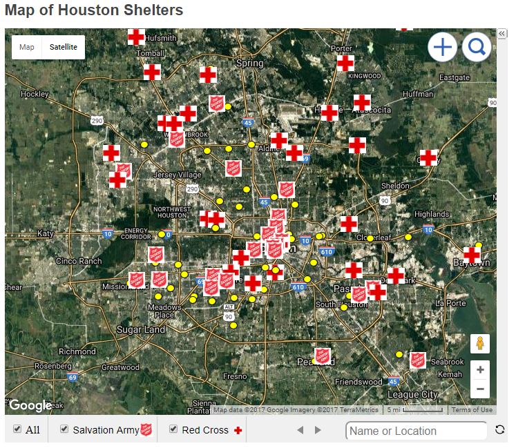
 Surveying the Extent of the Houston Damage
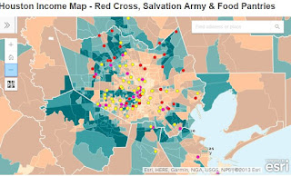